Saturday, October 5, 2019

Travel day...bonus pics!

Before leaving Reno, I got the second car wash of my road trip. I found a good one that soap mops your car before it goes through the automatic wash, then hand dry and tire shine after. Other than stops for lunch and gas fill up, I drove seven hours today! That is tiring in itself! Since I didn't do any sightseeing, I'll post photos from every day of my road trips...different ones from those used in this blog. Ready, set, go!

 Beach plant, Long Beach, WA

View from my hotel, Manzanita, OR

Sea cucumber, Oregon Coast Aquarium, Newport, OR

Wallaby, West Coast Game Park Safari, Bandon, OR

Myer Creek Beach, OR

Glass Beach, Fort Bragg, CA

Mendocino Headlands State Park, CA

Sunset from hotel window, Santa Cruz, CA

Elephant seal waiting for the next wave, San Simeon, CA

Cactus flower, Santa Barbara Zoo, CA

My favorite cookies, Original Farmer's Market, Los Angeles, CA

1966 TV Batcycle, Petersen Automotive Museum, Los Angeles, CA

Fossil Falls and Red Cinder Mountain, CA

My Outback and the Sierra Nevadas, CA

Tree bumps, Devils Postpile National Monument, CA

And...that's all folks! Tomorrow, my 2019 Fall Road Trip will be officially over with another driving day all the way home! I'm tired, but happy. After taking a mental break for a couple of months, I'll start planning my spring road trip! I'm looking forward to that...


Friday, October 4, 2019

Devils Postpile...finally!

Fueled by a muffin from yesterday's hotel breakfast buffet...I didn't see anything appetizing at this morning's hotel offerings...I left Bishop, CA and drove directly to Devils Postpile National Monument. I had been wanting to visit this park for quite a long time, but weather conditions nixed those past plans. Not today, though! When I arrived at the parking lot around 9:30 am, there were already many cars there. Part of the reason might be due to the fact that the John Muir and Pacific Crest Trails both cross through the park.


As for the trail to Devils Postpile, it was wide and flat to make it easy for visitors to reach the attraction. Compared to yesterday's exhausting hike, this one was a walk in the park, so to speak. I admired the views of The Buttresses, regal in the morning sunshine.


I opted to do the loop trail, which took me to the top of the rocky formation. Devils Postpile was created by basalt lava, which formed hexagonal columns when it cooled. From above, you can easily see the hexagon pattern.


When I reached the base of the formation, the true majesty of Devils Postpile was revealed. It was pretty impressive. I can't say I've seen anything like it so far in all my road trip park visits. Well, I guess Devils Tower has vertical columns, too.


Near the park and the Mammoth Lakes area, I checked out two other notable touristy stops... Minaret Vista and Earthquake Fault. The Minarets are part of the Ritter Range...a sub-range of the Sierra Nevada Mountains.


The phenomenon known as Earthquake Fault was formed by tectonic movement in the Earth's crust, the lava rock originating from Mammoth Mountain. According to the U.S. Forest Service website, it's more of a fissure rather than a fault. While I was looking it over, I spotted a few golden mantled ground squirrels. I never get tired to taking animal pics!


I'm staying in Reno, NV tonight. Tomorrow, I'll be driving all day as I make the long trek back home. One more overnight pit stop tomorrow and that will be it. My road trip is finally coming to an end. But, I'm ready to call it quits. Time to sleep in my own bed and reunite with my cat. I miss her and I know she misses me!

Thursday, October 3, 2019

Ordeal at 10,000 feet

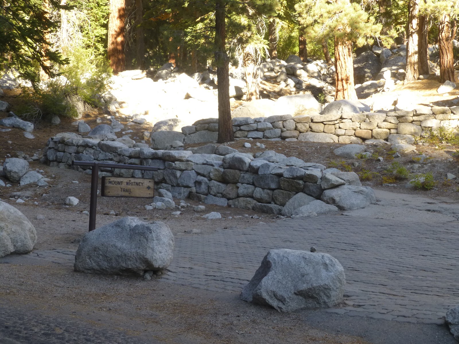
One of the nice things about taking a vacation during the off season, there aren't as many people around...at least many of the places I've been. I left Lone Pine, CA by 8:00 am and drove west on Whitney Portal Road to its terminus. My plan was to hike part of the Mount Whitney Trail...just enough to say I did it and to take some photos. I didn't have any problem finding a space in the parking lot, and was soon on my way up the trail. The elevation at the trailhead is listed as 8360 feet, but I didn't find the hike too difficult.


It was a bit chilly...mid 40s...but the sun was out and it was a beautiful morning. There were other people hiking, too, but not a lot. I was using just one trekking pole, and by the marks on the trail, it seems to be a common thing.


I only hiked up about a mile since I quickly noticed the farther I went, the less of the mountains I could see. In fact, I could barely even see Mount Whitney...that's it on the right of the second pic. I turned around and went back down the trail. I caught some movement in the corner of my eye and took a photo of what is probably a western fence lizard. Driving back to Lone Pine, I was able to get shots of the valley below and a better pic of Mount Whitney above!


In the afternoon, I had planned to visit the Ancient Bristlecone Pine Forest located in the mountains east of Bishop. Initially, I was going to drive 12 miles of dirt road to the Patriarch Grove, with its two one mile loop trails. But, I ended up changing my mind and doing the much more challenging 4 1/2 mile Methuselah Loop Trail. Why? I figured I may never get a chance to do it again...I'm not getting any younger! What makes this even more challenging is the 9,000 to 10,000 foot elevation! As I started out on the trail, I was feeling optimistic. I also took a photo of a cute least chipmunk.


Then, the trail started going up, and I immediately started feeling the effects of the altitude...fatigue, heart pounding. I had to stop frequently to take a breather, but I was determined to do this thing. I took a lot of photos as I was walking, which allowed me to rest, too. There were not very many people doing the hike...not surprising due to its strenuous nature and it being off season.


The trail did eventually level out, then sloped downward. But, it went up again, leading to the mountain mahogany grove. At the two mile mark, I arrived at the Methuselah Grove...named after the Methuselah Tree (bristlecone pine), the oldest tree in the world.


By now, I was halfway through the hike and starting to feel pretty tired. Taking photos of the beautiful old trees helped take my mind off my fatigue as the trail started going up again.


Most trees in the grove are 3,000 to 4,000 years old, although it is now thought there are 5,000 year old trees, too. The Methuselah Tree used to be marked, but to protect it from vandalism, it no longer is.


The last half mile was almost the toughest...so close, yet so far away. I was pooped! But, then, I saw the 4 mile sign, which meant the visitor center was right over the last small hill. I made it!


At the end of my hike, I checked my digital pedometer and found I had hiked a total of 6.4 miles! No wonder my knees are aching! Hopefully, a couple of ibuprofen will fix that so I'll be ready for a much shorter and easier hike that I have planned for tomorrow. After that, it will be driving for the rest of the day as I get closer and closer to home!